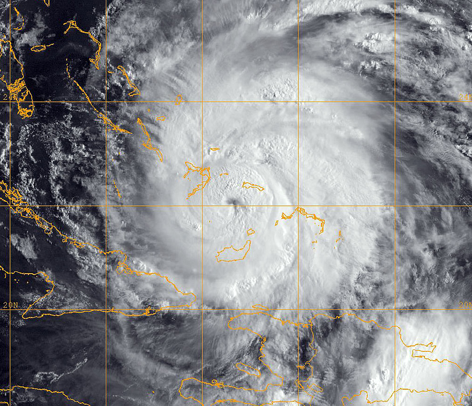
Military Photo: Navy Photo of Hurricane Irene

Archives
Posted: 08/01/2011

CARIBBEAN SEA (Aug. 24, 2011) A GOES-13 infrared satellite image provided by the U.S. Naval Research Laboratory, Monterey, Calif., showing the status of Hurricane Irene at approximately 6 a.m. EST Wednesday, Aug. 24. Irene crossed over the Bahamas with 115-miles-per-hour winds. The storm could strike the U.S. East Coast between Florida and the Carolinas as a Category 3 hurricane. (U.S. Navy photo)

Photo Archive

Military Photo Archives: Current  2024 2023 2022 2021 2020 2019 2018 2017 2016 2015 2014 2013 2012 2011 2010 2009 2008 2007 2006 2005 2004

X

ad

Help keep us a float!

Your support helps us keep our ship a float. We appreciate anyway you chose to help out. Visit us daily, subscribe, donate, and tell your friends.

You can support us in the following ways:

  1. Subscribe to our daily newsletter. We’ll send the news to your email box, and you don’t have to come to the site unless you want to read columns or see photos.
  2. You can contribute to the health of StrategyPage.
  3. Make sure you spread the word about us. Two ways to do that are to like us on Facebook and follow us on X.
Subscribe   Contribute   Close